
This web page helps you on how to plan your trip to Niagara Falls
Location – Where is Niagara Falls
Niagara Falls is located on the Niagara River, forming the border between New York State (USA) and Ontario Province (Canada). The falls sit approximately 17 miles northwest of Buffalo and 75 miles southeast of Toronto, making them accessible from both countries. This unique international position allows visitors to experience different perspectives from each side of the border. The American side offers close-up views while the Canadian side provides panoramic vistas of the massive Horseshoe Falls.
Getting to Niagara Falls
Getting to Niagara Falls is accessible by air through Buffalo Niagara International Airport (30 miles away) or the closer Niagara Falls International Airport, followed by rental cars, shuttles, or taxis to the falls. Driving offers the most flexibility with major highways like I-190 and Queen Elizabeth Way providing direct access, plus ample parking on both American and Canadian sides. Public transportation options include Amtrak trains to nearby stations, Greyhound buses, and local shuttle services connecting airports and hotels directly to the falls area.
Niagara Falls International Airport
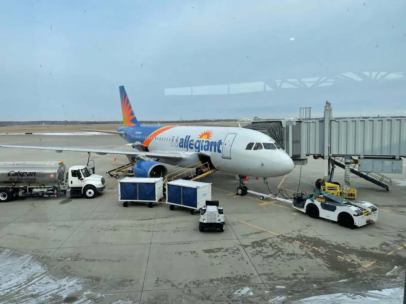
Niagara Falls International Airport (IAG) is a small regional airport located about 10 miles east of the falls in New York. The airport primarily serves charter flights, private aircraft, and seasonal commercial services during peak tourist seasons. While smaller than Buffalo’s main airport, it offers the closest air access for visitors specifically traveling to see Niagara Falls. Many tourists still prefer Buffalo Niagara International Airport, located 30 miles away, for more comprehensive flight options and connections.
Niagara Falls NY Parking
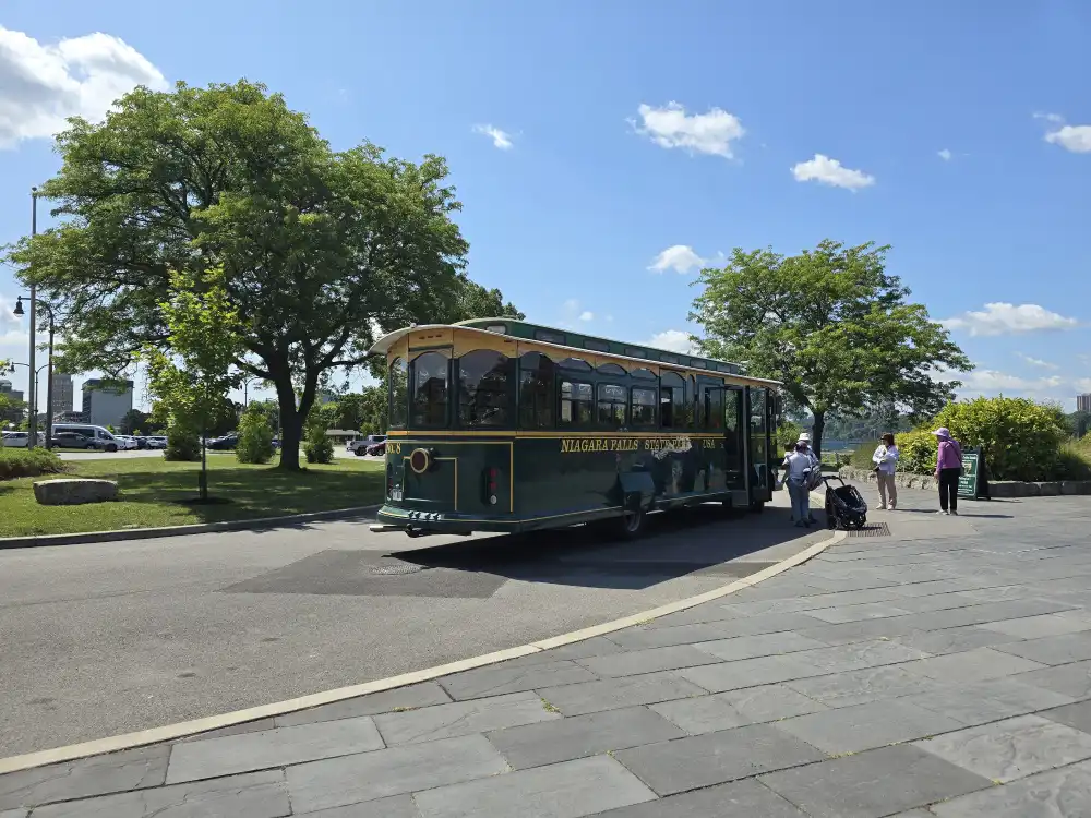
Niagara Falls State Park in New York offers main parking lots near the visitor center on Rainbow Boulevard with fees ranging from $10-25 depending on season. Parking fills up quickly during peak times, so arriving early is recommended for the best spots close to the falls viewpoints. Additional parking options include smaller satellite lots within the park and private lots in the surrounding city area. Street parking is also available nearby, though it may require a short walk to reach the main park entrance and attractions.
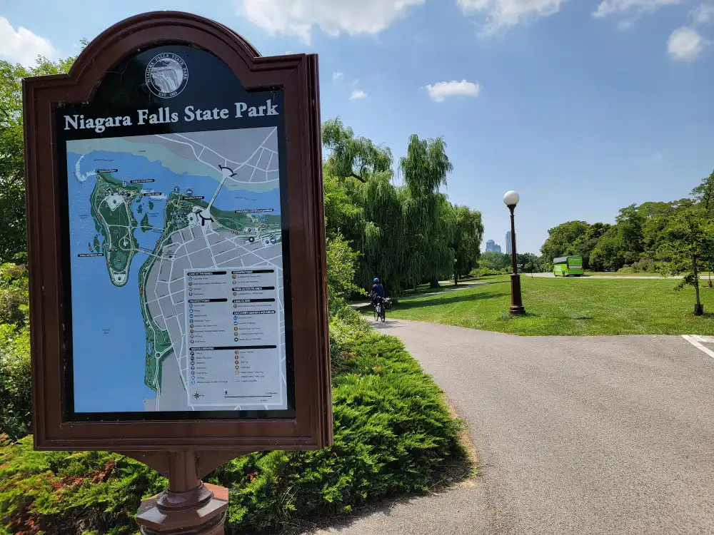
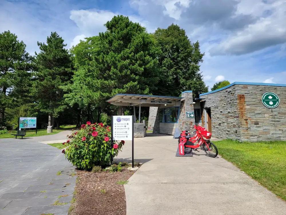
Maps of niagara falls

Detailed maps of Niagara Falls State Park and Niagara Gorge State Parks are essential tools for visitors to navigate the area’s trails, viewpoints, and facilities effectively. These comprehensive maps help tourists locate key landmarks, parking areas, restrooms, and trailheads while ensuring they maximize their experience in this spectacular natural region. By using these maps for planning, visitors can efficiently explore both the gorge trails and scenic overlooks without missing any of the area’s remarkable attractions.
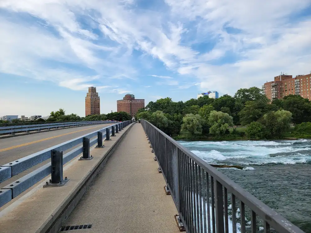
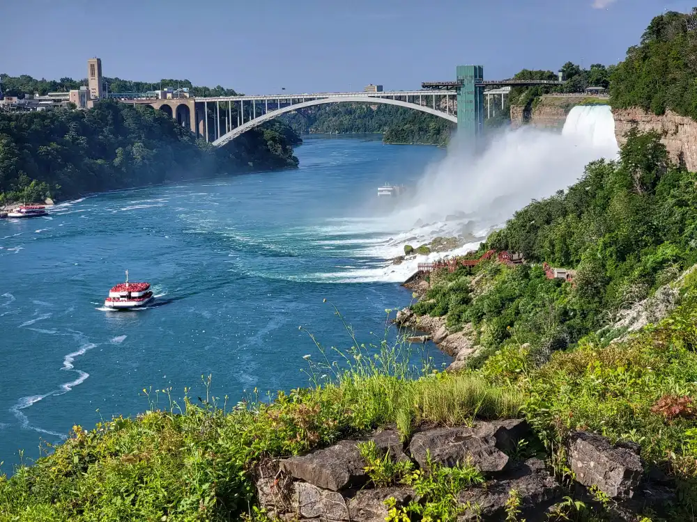
rainbow bridge Niagara falls
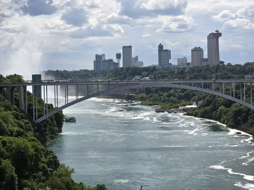
The Rainbow Bridge is an international steel arch bridge connecting Niagara Falls, New York with Niagara Falls, Ontario, built in 1941. Named for the rainbows that appear in the falls’ mist, it offers spectacular views of both the American and Horseshoe Falls during crossing. The bridge serves as a major border crossing between the US and Canada, operating 24 hours daily for both pedestrians and vehicles.
Weather of niagara falls
Niagara Falls has a humid continental climate with four distinct seasons. Summer temperatures reach the comfortable 70s-80s°F, while winter drops below freezing, creating stunning ice formations around the falls. Spring and fall offer the most pleasant visiting conditions with mild temperatures in the 50s-70s°F. The region receives about 80 inches of snow annually and moderate rainfall throughout the year. Visitors should always bring waterproof clothing due to the constant mist that creates a unique, cooler microclimate around the falls.
Frequently Asked Questions
Have questions about visiting the U.S. side of Niagara Falls? You’re not alone! From practical details like parking, border crossings, and what to pack, to information about attractions, accessibility, and the best times to visit, this FAQ page covers everything you need to know. Whether it’s your first time or you’re returning for another adventure, these answers will help you plan your trip with confidence and get the most out of your experience at Niagara Falls, New York.
Itineraries For All Types of Visitors
Planning a trip to Niagara Falls? Whether you’re traveling with kids, enjoying a romantic getaway, reconnecting with friends, exploring solo, or visiting loved ones nearby, we’ve created a variety of 2-day to 7-day itineraries tailored to your travel style. These sample schedules highlight the best attractions, local favorites, and hidden gems to help you make the most of your time in Niagara Falls, NY—no matter how long you stay or who you’re traveling with.